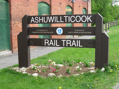
On Memorial Day, we decided to go and try out the
Ashuwillticook Rail Trail, out in the Berkshires, between
Lanesboro and Adams. I had been wanting to check it out since I first noticed people bicycling along the
Chesire Reservoir a couple years back as I drove by. I had also recently read about it in a Rail Trail book I have, where they said some good things about it.
The trail starts at the Rte. 8 side entrance to the Berkshire Mall. There's a nice parking area with bathroom facilities, (real ones, not port-a-potties.)

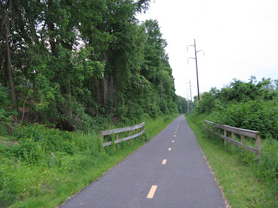
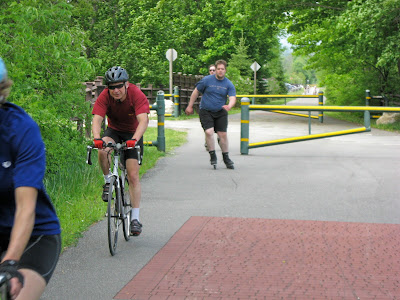
The trail is in absolutely excellent condition; In it's 11+ mile length, we didn't see a single crack over a foot long, and those were just a couple. It gets the slightest bit wash-
boardy, for a small section along the reservoir though, but hardly noticeable.
Rollerbladers and skaters of other stripes took full advantage of the
trail's great condition.

The whole length of the trail follows the
Hoosic River; from it's beginnings in the
Chesire Reservoir, which take up almost the first 4 miles of the
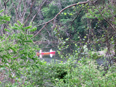
trail's length, then on to beaver dammed wetlands and marshy areas thick with birds and wildlife. The first half of the reservoir is shallow, murky, and covered with algae and
lillypads. It then broadens into a real reservoir, deeper, wider, and clearer.

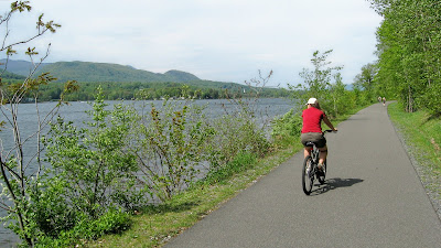
Mt.
Greylock, the highest peak in Massachusetts, can be seen looming in the distance across the reservoir, flanked by it's slightly smaller brothers.

As with some other rail trails, old whistle markers signify the
trail's previous incarnation as a railroad line...

I made sure to ring a new bicycle bell I just put on my bike at every marker we came across, and any other time I thought of it, simply to irk Kelly. The recent addition of the bell nearly completes my handlebar's transformation into something resembling a dashboard. Kelly says I should install a CD player next. I Am Gadget Boy.

The trail was constructed with a lot of care and planning. There are great looking wooden rails lining the path in many sections. At each intersection, protected by hefty green and yellow gates, there are some nice large brick inlays; a lot of work purely for aesthetics.


Some residents along the trail added their own embellishments.


The passing miles are painted onto the trail itself, and there are kilometer markers along the side, for the British Weights and Measures - challenged.

There are benches and pick-nick tables
galore.
Massachuestts DCR spared no expense with these, and placed them at every scenic spot. And in several spots are informational panels, telling you about the
Hoosic watershed, the wetlands, local wildlife, and other interesting tidbits.


This little convenience store/ ice cream parlor provided us with some mid-trail refreshments.

The whole trail has a lot of very long, straight stretches. One of them runs through a particularly
wetlandy wetland area where wildlife seems to abound, even more than in the other sections. Yellow Warblers and Blackbirds flitted about everywhere.

Geese sat along the
trailside, hissing at
passerby's that linger to look at their
gosslings too long.

A young rabbit sprung under cover when the camera was pointed at him.

This
Caddislfly(?) was less camera-shy, as it kept landing on my hand, insisting I take it's picture.

Stiff, bamboo-like grasses run all along the side of the trail. Maybe they were planted there on purpose, as a type of barrier?


A Blue Heron wades, ever so slowly, among the water lilies as it patiently hunts for it's supper.

Just past that area, an old pumping station
demarks where the
Hoosic finally begins to collect volume, and build up into something resembling a river.

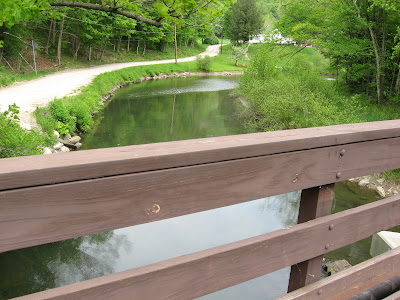
And the river begins to turn into a real river, however narrow, after passing over a small dam.

From there riffles run along side the trail, as we begin a slightly steeper descent into Adams. Light posts begin to appear along the path on the outskirts of town.

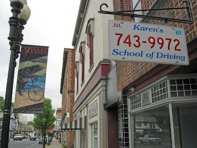
Finally we emerge form the tree cover, into the town of Adams.


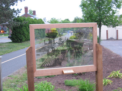
Some interesting signage and bike themed embellishments:

There's a trail side pub and restaurant called
CJ's, near the end of the trail, which ends at a Berkshire/ Adams Visitor Center.


A nice view of Mt
Greylock can be had here by the visitor's center.

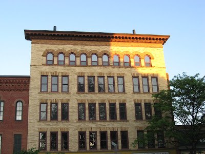
Right across from the center is an old factory, where this Starling was creating a ruckus.

Kelly quickly determined the reason. Two fledglings had escaped the nest, and were waddling around on the ground below, answering their mother's calls.

Kelly wanted to help them, but about all we could do for them was advise them to learn to fly, and soon.
We found a Subway store near the trail, and stopped to refuel with a couple sandwiches. It's a good thing we did, because we still had an 11+ mile trek going back. We had followed the
Hoosic River all the way to Adams, which meant a sometimes barely noticeable, but always present decline in elevation. This made for a pretty carefree and effortless journey into Adams. But heading back would require paying the piper. Though not particularly tiring, stressful, or steep in any way, I would label the ride back as exercise, simply because of the great length without the assistance of gravity. I would compare it to the Northampton
Bikeway, going north towards Look Park, but for almost 4 times the distance. So be prepared for the return journey, and may the wind be at your back.
I was very impressed with the
Ashuwillticook Trail. It was a very pleasant, healthy, and scenic ride. The Mass
DCR did a great job here.


